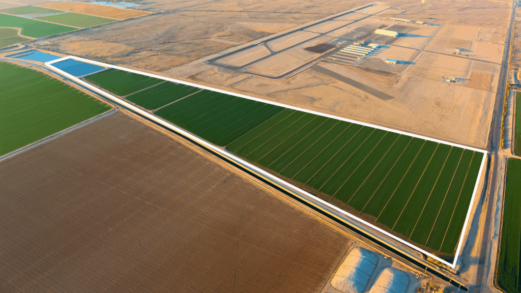
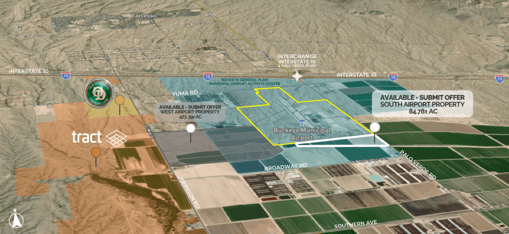
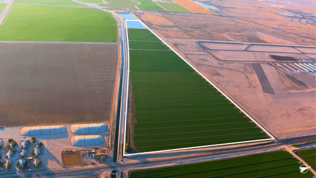
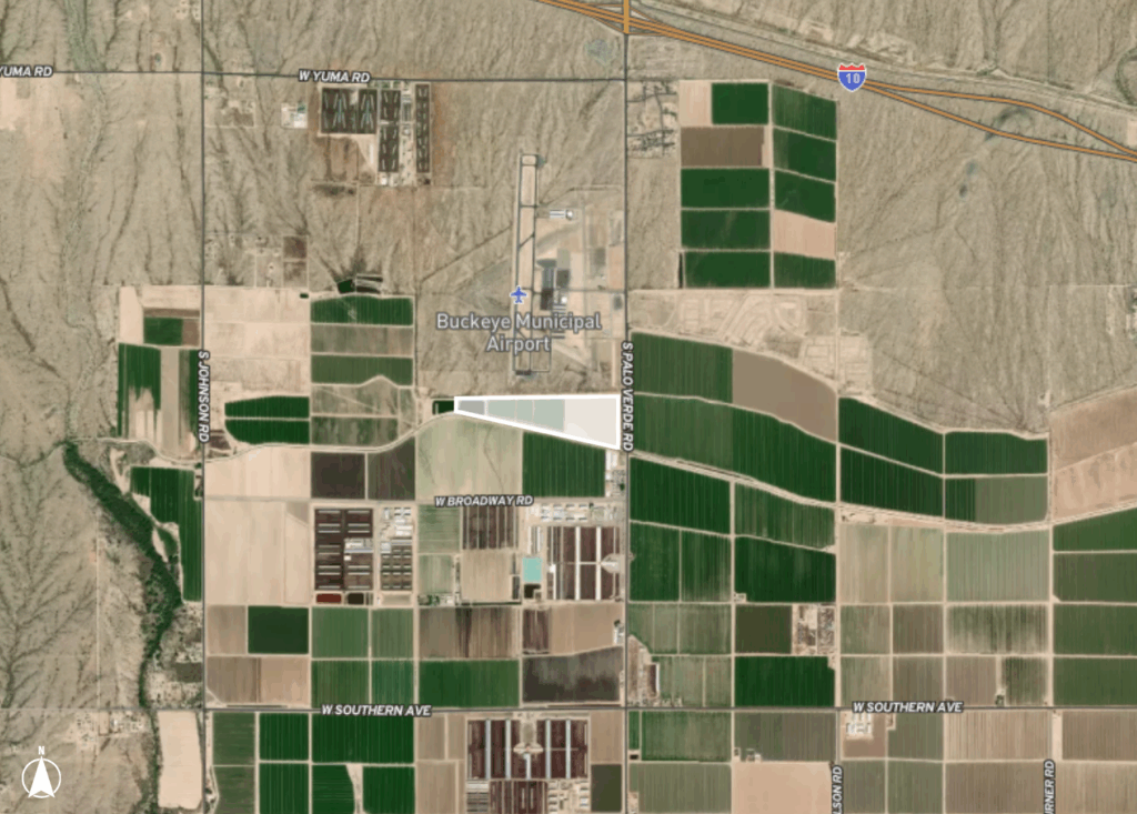

Property is located south of the Buckeye Municipal Airport, within the City of Buckeye’s Municipal Airport Activity Center. The current zoning is Maricopa County RU-43. Per the City of Buckeye General Plan, the Buckeye Municipal Airport Activity Center is expected to be a hub for future development. (Click here for link to Airport Plan.)
The site has direct frontage and access to Interstate 10 from paved Palo Verde Road. It is located in an Opportunity Zone near the Buckeye Tech Corridor. This property is used as irrigated cropland.
LOCATION & ACCESS: Located south of the Buckeye Municipal Airport, west of Palo Verde Road, north of the Roosevelt Canal, 1 3/4 miles south of Interstate 10. This property has direct access to Interstate 10 from paved Palo Verde Road.
ZONING: Maricopa County RU-43
BUCKEYE GENERAL PLAN: Buckeye Municipal Airport Activity Center
MARICOPA COUNTY APNs: 504-30-024A, 504-30-024B, 504-30-022A
WATER: Located within the Phoenix AMA & Irrigated Grandfathered Water Rights